
PHOENIX — Severe weather warnings have been set in counties across Arizona as dust storms, flash flooding and severe thunderstorms are possible Sunday afternoon.
The weather began to pick up around 4 p.m. near Maricopa County.
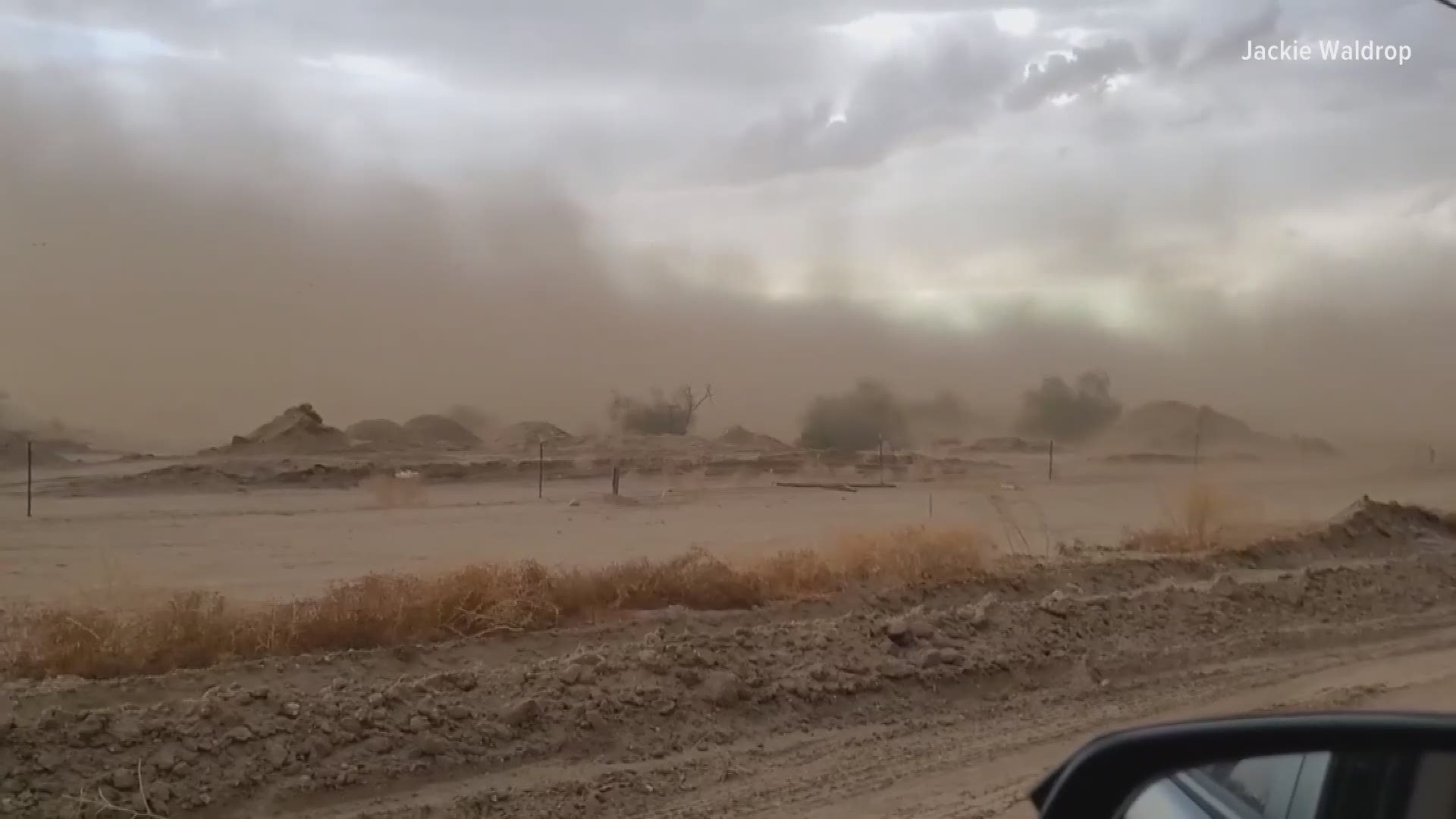
According to the National Weather Service, a dust storm between Phoenix and Tucson lowered visibility in the area around 5:30 p.m. I-10 westbound near Picacho Peak has been closed due to the storm and a crash. All westbound traffic must exit at Tangerine Road.
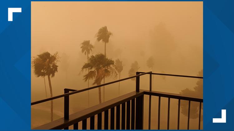
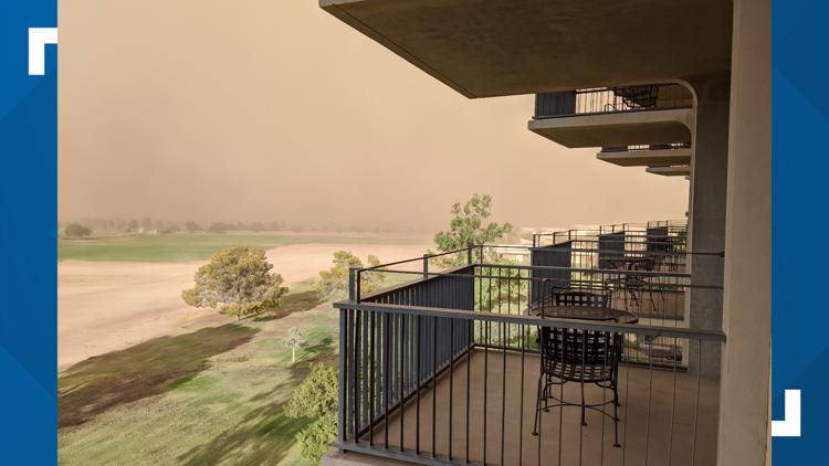
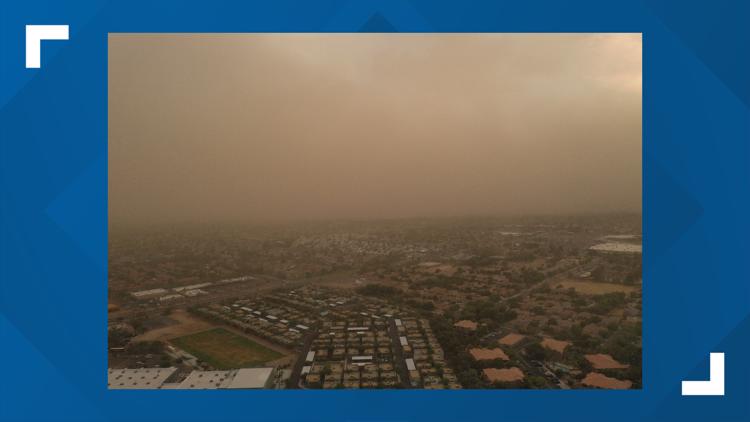
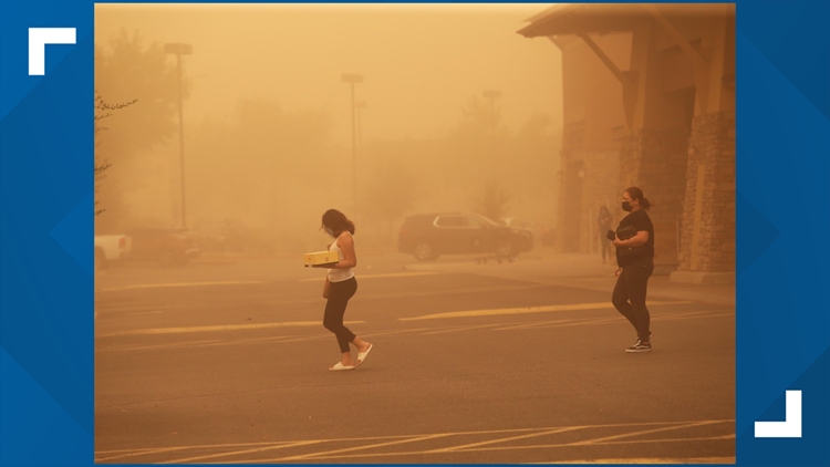
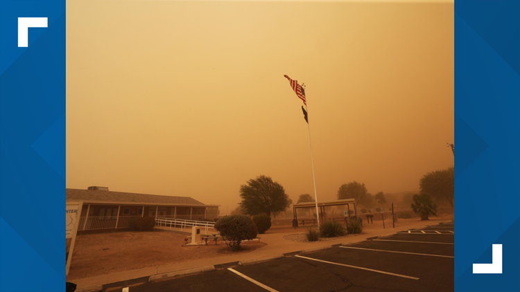
As the weather continued, dust moved into the Phoenix area and prompted a dust storm warning for parts of the Valley until 7:30 p.m.
During the stormy weather, there have been some power outages in Metro Phoenix, northeastern, southeastern and southwestern Arizona. The southeast corner of the state has the highest number of outages.
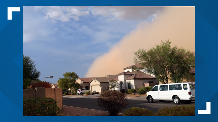
The NWS tracked the storm as it moved around Maricopa County. Around 6 p.m., blowing dust began making its way to the Valley area.
TRACK THE STORM: Watch the radar on 12 News
Arizona City also saw severe weather conditions as blowing dust limited visibility across the area.

And as if all the dusty weather wasn't enough, Phoenix also broke the record high temperature for today. Phoenix topped out at 115 degrees, beating the previous record by two degrees, according to the NWS.
PHOTOS: Dust storm photos from Aug. 16
Dust Storm Aug. 16


More on 12news.com