

PHOENIX — A Winter Storm Warning remains posted for elevations above 5,500 feet until 11:00 p.m. Tuesday. Elevations above 7,500 feet can expect an additional ten to eighteen inches of snow accumulation through Tuesday.
Colder air is in place, so the snow levels will be down to around 4,000 feet by Tuesday morning; this is where a few more inches of snow will fall.
As of Monday evening, several valley locations have already exceeded one-half inch of rain. Look for an additional half an inch to one and a half inches of rain through Tuesday night. Locally higher amounts will be found in the high terrain north and east of the Phoenix valley.
With more rain and snow, it's no surprise that below-average temperatures will continue. Tuesday, low desert highs will only muster the upper 50s to around 60 degrees, and the high country will reach the 30s and 40s. The Flagstaff area can expect Tuesday highs in the lower 30s.
RELATED: Radar over Arizona
Follow live updates below:
4:00 p.m. - Flagstaff Unified School District will be closed on Wednesday, Jan. 18 due to inclement winter weather.
10:15 p.m. Flagstaff got more than a foot of snow Monday!
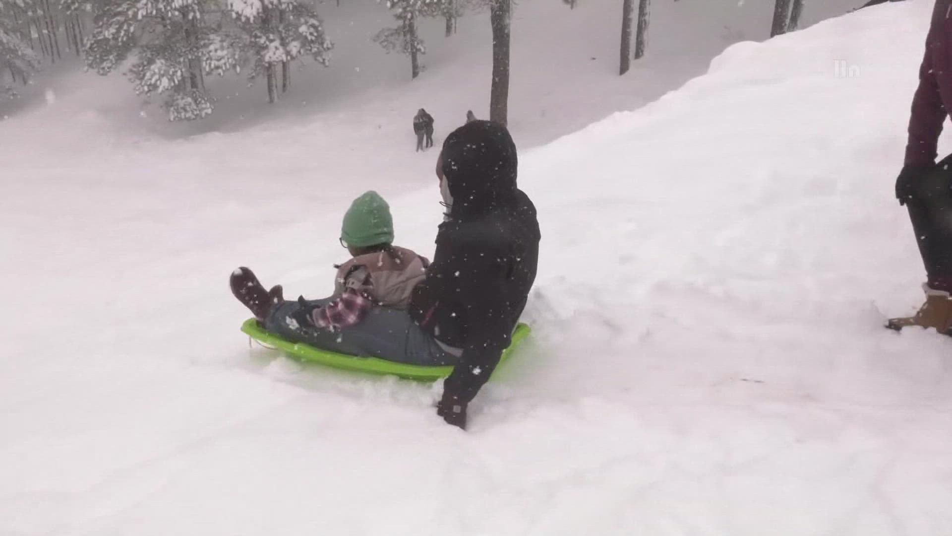
9:45 p.m. The high country added another two to twelve inches of snow accumulation on Monday.
9:30 p.m. Here's a look at areas most favorable for thunderstorm activity over the next several hours.
9 p.m. Showers and some embedded thunderstorms spreading across the western and northern metro will continue into the overnight hours.
VIDEO: Travelers face hazardous roads with snowfall in the high country.
8:30 p.m. Don't be surprised to hear some rumbles of thunder Monday evening.
6:45 p.m. Snow is coming down again across northern Arizona; delay travel if you can.
6:30 p.m. Rain's coming down across Phoenix, especially the central and northeastern areas.
6:10 p.m. The City of Flagstaff has announced all non-essential facilities will be closed on Tuesday due to the winter storm.
5:45 p.m. Scattered showers are currently moving through portions of the metro, with only light accumulations of a few hundredths expected this evening
5 p.m. Folks in the Flagstaff area dealing with yet another day of intense snowfall. And all that snow is making road conditions messy tonight as crews work to get everything cleaned up.
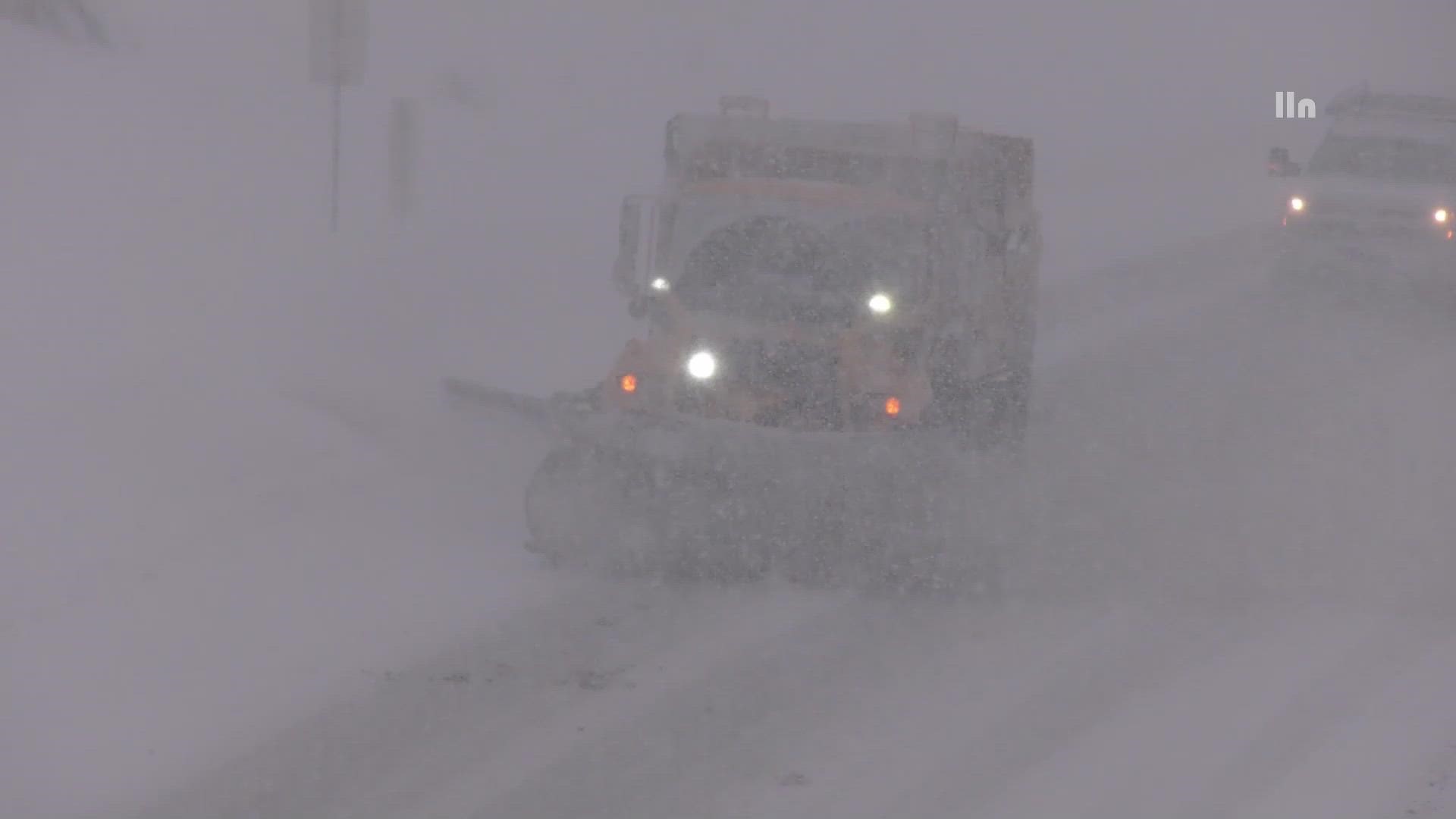
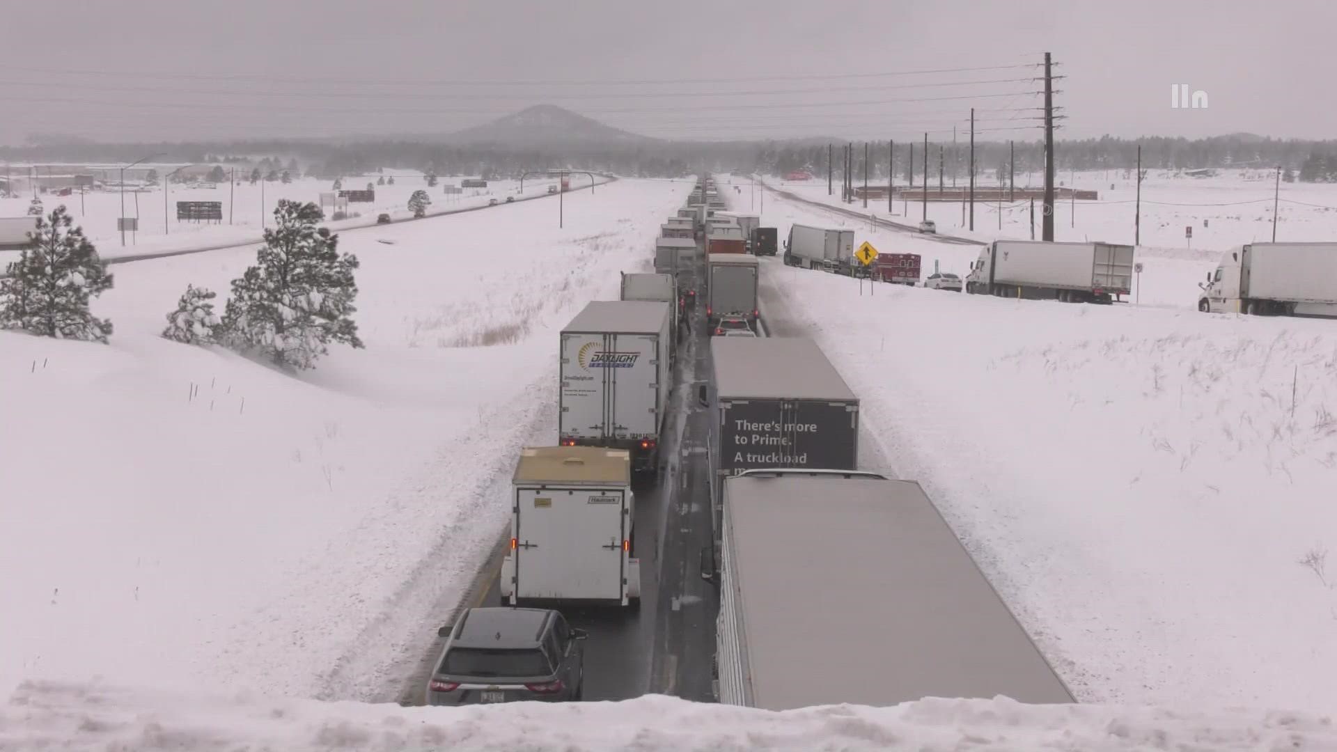
3:30 p.m. ADOT's snow plows are out, keeping roads clear for travelers.
3 p.m. - Sabino and Bear Canyon roads are closed due to flooding.
1 p.m. - ADOT warns of icy roads across the Navajo Nation and encourages drivers to delay travel if possible.
10:04 a.m. - It's going to be showery all morning long with more thunderstorms expected later in the evening.
7:10 a.m. - Flagstaff is seeing a lull in activity, but more rain and snow is expected later in the morning.
I-17 has reopened.
6:37 a.m. - I-17 southbound is closed south of Munds Park due to a disabled vehicle.
6:30 a.m. - Flood warnings are in effect for Tonto Basin and San Carlos in Gila County.
5:40 a.m. - Light rain showers are still drifting across the region. Be aware of wet roads on your morning commute.

Arizona Weather
Drought, wildfires, heat and monsoon storms: Arizona has seen its fair share of severe weather. Learn everything you need to know about the Grand Canyon State's ever-changing forecasts here.