
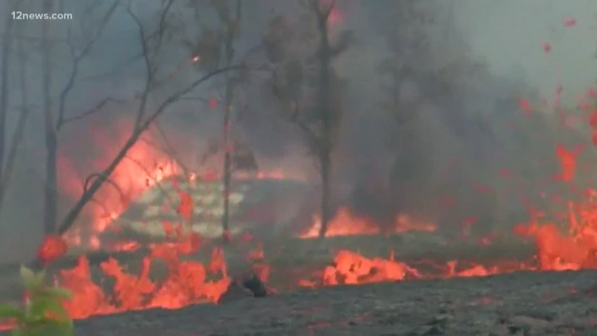
Explosions continue on Kilauea’s summit, but that doesn’t mean Hawaii’s Big Island has been transformed into a hellish wasteland.
Rumors and speculation have been swirling since a treacherous lava flow erupted from the volcano earlier this month, destroying everything in its path and forcing about 2,000 residents to evacuate. About 23 lava vents have opened in the weeks since as well, shooting sulfur dioxide gas into the air.
To make matters worse, there’s the laze that forms when the 2,000-degree lava hits the cooler sea water, releasing a cloud of hydrochloric acid steam. Scientists say the acid in a plume of laze is about as corrosive as diluted battery acid.
As those of us across the country look at images of the flowing lava and the hazardous laze, it’s easy to forget the Big Island is – well, a big island, about 4,000 square miles.
The Facebook page Skeptical Spectacles shared an image comparing what people imagine the lava flow looks like, versus what it actually looks like. The real version of the lava flow map is much less dramatic than what many of us have been thinking.

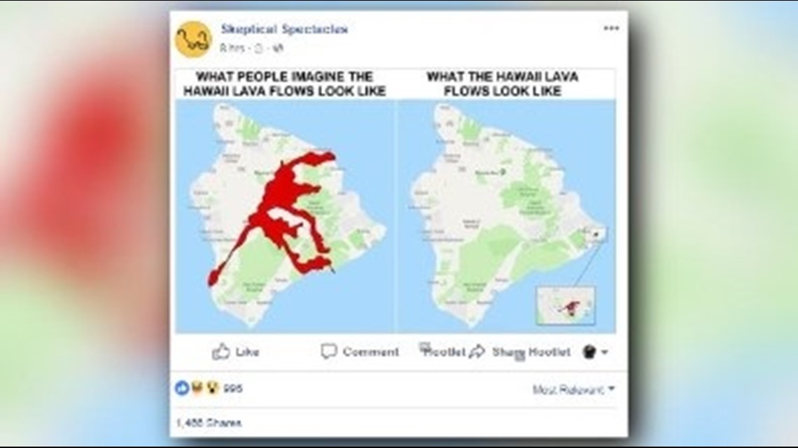
In fact, if you look at a map from the Hawaii County Civil Defense Agency, you can see that the lava flow doesn’t even take up the whole eastern corner of the Big Island.
Officials have also been reminding tourists that the volcano may look scary, but the rest of the state, and even the rest of the island, is largely unaffected by the volcanic activity.
And that’s why Hawaii’s airports are still open, and the tourism industry is still in full swing.