

FLAGSTAFF, Ariz. — Northern Arizona University isn't missing the forest for the trees. They're figuring out the health of the forest by scanning and studying every single tree, all at once, from the crown to the dirt.
The most impressive part is that no one had to set foot in the woods to do it.
Chris Hakkenberg is an assistant research professor at NAU, and he's using laser technology to chart the growth and health of forests all over the state, and all over the world. It's called LIDAR — Light Detection and Ranging — and it's the same technology that lets self-driving cars "see" the world around them.
"You can see that it's capturing individual crowns," Hakkenberg said as he charted out a map of a remote patch of forest. "Among all the different ways that we can predict biodiversity, LIDAR works really well."

LIDAR works by projecting an infrared beam and measuring how long it takes for the beam to bounce back. There's one on the International Space Station and it's not uncommon for them to be mounted on airplanes.
"From the differential between when [the beam] hits the top of the tree and the ground, we can tell the height of the forest," Hakkenberg explained. "What this map right here is showing us is the height."
And from there, Hakkenberg can measure all kinds of things about the forest: how thick it is, what it's made of or how many different kinds of plants are there.
"We can then infer things like habitat for mammals or birds we may be able to tell in my research shows that we can tell the species diversity of trees and plants as well."
He's charting biodiversity, how many species live across the country, in places that people may have never even set foot in.
>> Download the 12News app for the latest local breaking news straight to your phone.
"This is what it looks like when you are outside of Tucson," Hakkenberg said of another scan. It's flat. Very flat. Not a lot of trees in sight. But that tells Hakkenberg that it's perfect for some animals.
"Deer are going to prefer this sort of open habitat where there's places they can hide." But if those environments disappear? So do the animals that call them home. "We don't want to be losing species. Extinction is forever, and that is something that is terrifying."
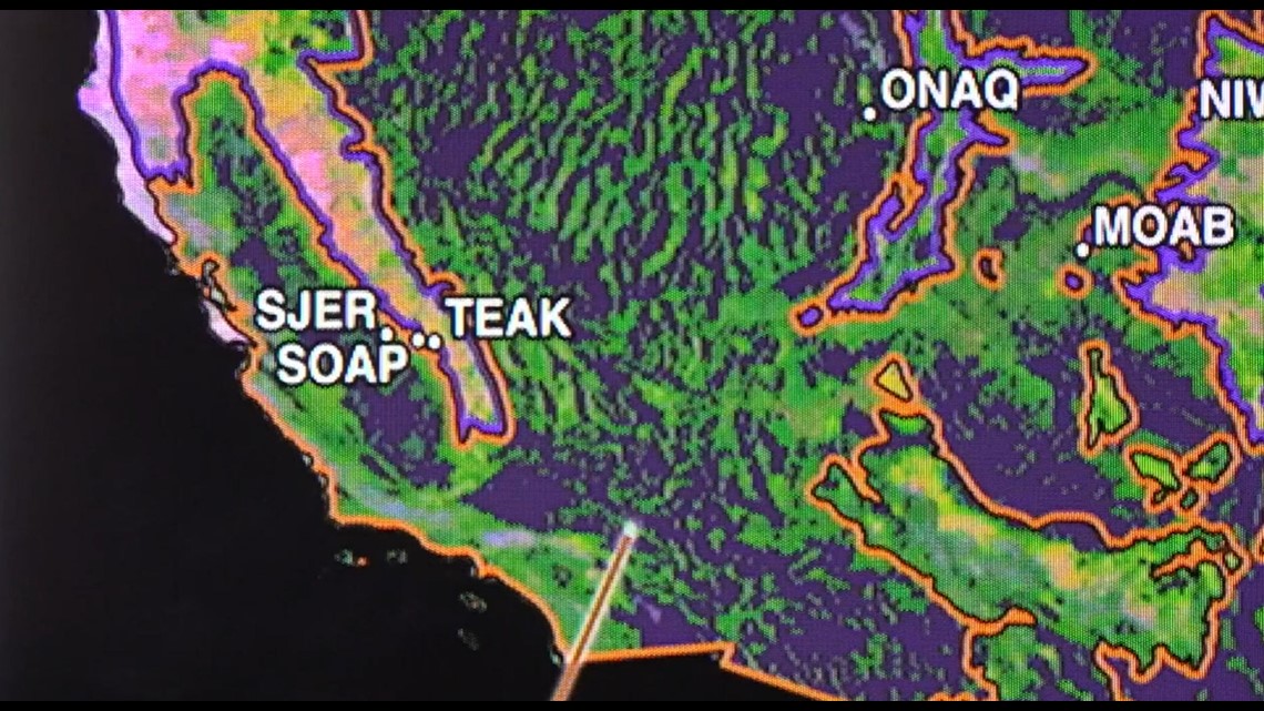
A third LIDAR map shows the burn scars left by wildfires in California last year. It can point researchers and firefighters towards what areas may be at risk for similar fires.
When it's all put together, it shows us how healthy the ecosystem is. And if we know that, we know how much work is left to help it survive.
UP TO SPEED
Catch up on the latest news and stories on our 12News YouTube playlist here.