
PHOENIX - Storms slammed the north Phoenix area just before 10 p.m. Wednesday night. They were expected to continue through the evening.
One north Phoenix rain gauge registered more than a half-inch of rain between 9:30 and 10 p.m.
The National Weather Service issued a flood advisory until 11:45 p.m. for much of the north Valley.
947pm: Flood Advisory in effect through 1145 PM MST. It's more difficult to distinguish flooded roadways at night, drive with caution. #azwx pic.twitter.com/EjCDFs2akP
— NWS Phoenix (@NWSPhoenix) August 24, 2017
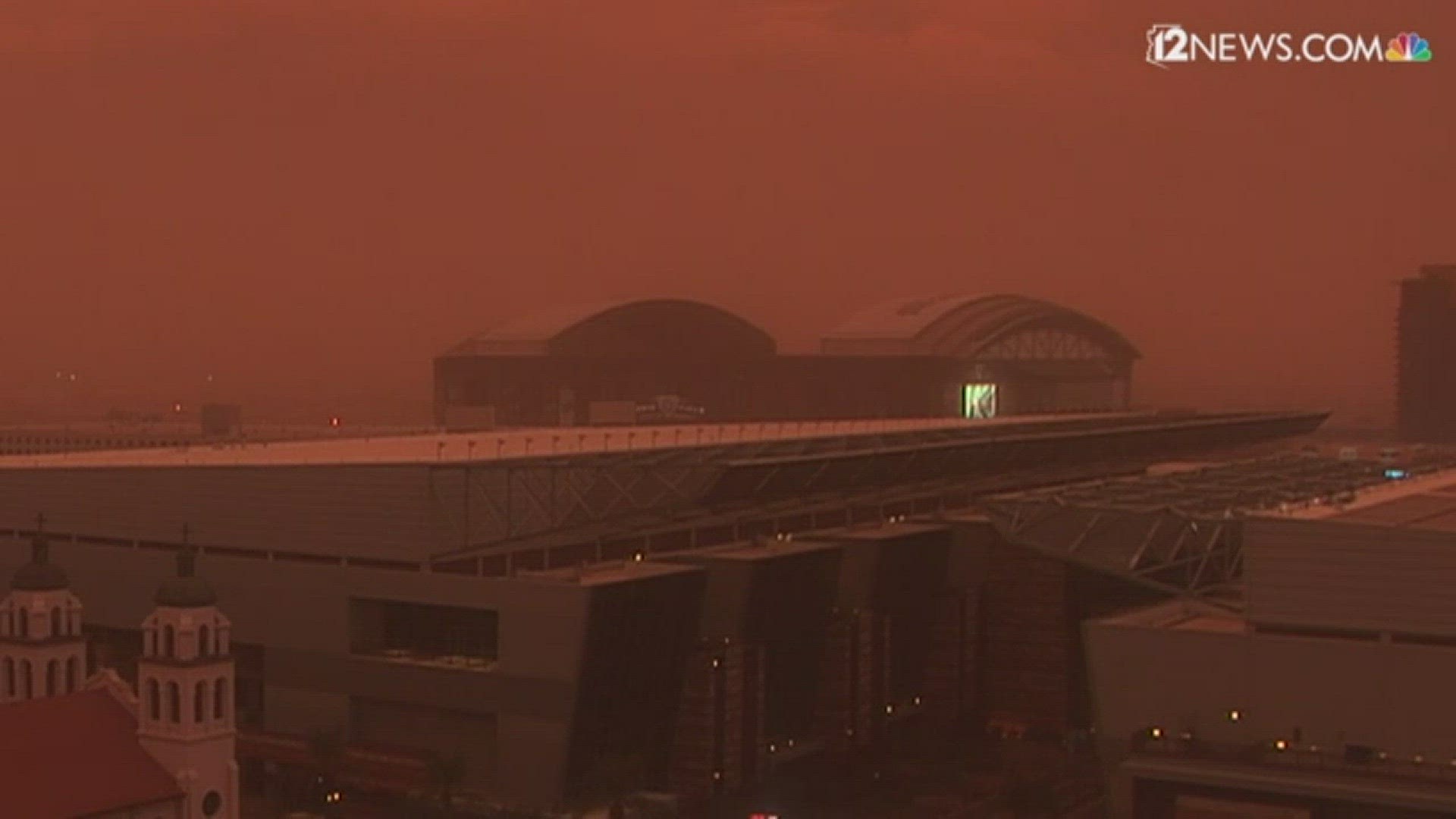
Blowing dust hit much of the south Phoenix area Wednesday night and Tempe, Scottsdale and Peoria all saw rainfall between 8 p.m. and 9:30 p.m., as did south Phoenix.
The highest rainfall total in that time was south Tempe, which registered .35 inches.
846pm: Strong storm near
— NWS Phoenix (@NWSPhoenix) August 24, 2017
Peoria, moving northeast at 10 mph. Winds in excess of 40 mph will be possible with this storm. #azwx #Monsoon2017 pic.twitter.com/uz4KggAgjn
TRACK THE STORM: 12 News radar
A blowing dust advisory was also in effect for areas ranging from Buckeye to Mesa all the way down to Florence until 8 p.m.
NOW: There's near-zero viability on the I-10 and L-202 in the south Valley. Delay travel. #PullAsideStayAlive pic.twitter.com/4YWMsxDJz4
— Arizona DOT (@ArizonaDOT) August 24, 2017
Earlier, visibility was "extremely low" on I-10 near Casa Grande due to the blowing dust.
NOW: There's extremely low visibility on I-10 near Casa Grande. Stay off the highway. #PullAsideStayAlive #AZTraffic #azwx pic.twitter.com/WltRr5KBqX
— Arizona DOT (@ArizonaDOT) August 24, 2017
Estimates for areas south of the Valley say gusts reached 40 mph while the east Valley saw gusts of up to 35 mph.