
ARIZONA, USA — The West Valley woke up to showers Thursday morning as storms made their way across the Valley. Severe storms popped up in areas including Scottsdale and Ahwatukee.
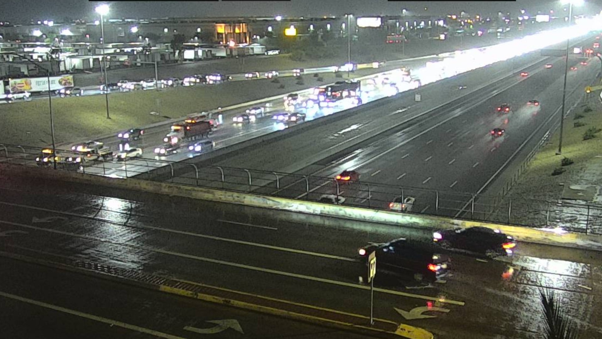
By 1 p.m., heavy rain forced road closures in Apache Junction and a woman was rescued after her car was swept away.
A flood watch will remain in effect for nearly the entire state through Friday due to the intense downpours associated with thunderstorms. We could still see heavy downpours with our thunderstorms later this week as our strong monsoon pattern stays in place.
Updates:
FORECAST: Monsoon is clocking in this workweek
Thursday
10:30 p.m. Here's what to expect for your Friday forecast:
Flash flooding will continue to be a big threat around Arizona, especially for those High Country communities near burn scars.
The intensity of our storms is expected to weaken early next week; we'll see isolated thunderstorms rather than widespread action each afternoon.
Looking ahead to your Friday, the morning will start out with very spotty rain around the state, but watch out for storms to quickly fire as we approach the afternoon.
9:50 p.m. Check out this video of a strong storm hitting Prescott Valley Thursday afternoon. Thanks to Paul Folk for sharing.
9:15 p.m. Today's rainfall totals were intense!!!
9 p.m.: A Flash Flood Warning is in effect for Quartzsite until 12:30 a.m.
8:30 p.m.: The latest radar shows thunderstorms moving south through Quartzsite with mainly localized urban and rural flash flooding, gusty winds and lightning, including I-10 at Quartzsite.
6:50 p.m.: A flash flood warning is in effect for central Coconino County north of the San Francisco Peaks.
6:25 p.m.: Storms are popping up west of Phoenix.
5:50 p.m.: A flash flood warning is in effect for Seba Dalkai, Tees Toh, Cedar Springs, Dilkon, Castle Butte, Hopi Reservation and Navajo Reservation.
5 p.m.: The high-temperature today was a "cool" 92 degrees!
3:40 p.m.: Apache Junction could see more heavy rain over the next few hours:
3:30 p.m.: Light rain continues in north Valley
3:10 p.m.: A flash flood warning has been issued for Show Low, Wagon Wheel and other portions of Navajo County as well as parts of Gila, Yavapai, and Coconino counties.
2:20 p.m. A flash flood warning is in effect until 4 p.m. in Miami.
2:15 p.m. More closers in Apache Junction: State Road 88 is closed in both directions just northeast of Apache Junction due to flooding from mileposts 201 to 205.
1:40 p.m.: A flash flood warning remains in effect for Apache Junction where heavy rain has been falling for several hours.
1:30 p.m.: Strong storms are moving into the Camp and Cave Creek area.
1:15 p.m.: Apache Junction Police Department officers helped a woman who was swept away in her car.
1:02 p.m.: the City of Apache Junction says there are street closures due to flooding in:
- Goldfield, north of Foothill
- Foothill, west of Goldfield
- Tomahawk, south of 19th Avenue
- Teepee, at Weekes Wash
- Lost Dutchman Blvd., between SR 88 and Idaho
- Scenic, east of Weekes Wash
- Delaware, Tepee and Smoketree
- 16th Avenue, west of Ironwood
- Tomahawk, north of Junction
12:30 p.m. - Apache Junction gets added to the flash flood warning lists.
12:07 p.m.: Video posted to social media shows Superstition and Sunset roads washed out from heavy rain.
11:00 a.m. - A flash flood warning is in effect until 3 p.m. for the area near Superior as storm activity builds into the afternoon.
10:30 a.m.: More than two inches of rain has already fallen west of Wickenburg at Outlaw Hill, according to the Maricopa County Flood Control District. More than one inch of rain has fallen near Carefree and McDowell Mountain Regional Park.
8:30 a.m.: The flood advisory announced for North Scottsdale is no longer in effect.
8:02 a.m.: Storms turned into scattered showers as they moved over central Phoenix, lowering the amount of rainfall to two-tenths of an inch per hour.
7:48 a.m.: The flood advisory announced for I-10 and Loop 303 in the
West Valley is no longer in effect.
6:33 a.m.: North Scottsdale was put under a flood advisory as rain fell at a rate of up to 1.5 inches per hour.
6:00 a.m.: Rain continued to fall at an inch an hour as storms got overhead of Phoenix. Officials are advising extra drive time may be needed for the morning commute.
5:00 a.m.: A flood advisory was put into effect along I-10 and Loop 303 in the West Valley as rain continued to pour and move east towards the Phoenix area.
4:15 a.m.: Rain fell at nearly 1" an hour in the West Valley early Thursday morning, creating ponds on roads.
Wednesday
9:40 p.m.: Meteorologist Jamie Kagol says more rain is expected Thursday afternoon!
8:05 p.m.: Showers and thunderstorms continue to dissipate across the state.
7:45 p.m.: The "cool" weather isn't as unusual as you think.
6:50 p.m.: Storms and heavy rain are moving into Payson from the southeast.
5:10 p.m.: Intense storms are hitting the Globe area. A Severe Thunderstorm Warning is in effect until 5:15 p.m.
5 p.m.: A Severe Thunderstorm Warning is in effect for Globe, Miami, Cutter and more areas of the state.
4:50 p.m.: The high temp in Phoenix today was 8 degrees below the norm!
4:40 p.m.: A Flash Flood Warning is in effect for Snowflake and Taylor.
4:30 p.m.: A Flash Flood Warning is in effect for portions of Coconino County
3:42 p.m.: Flash flood warning in effect until 6:15 p.m. impacting areas west of Kingman.
3:30 p.m.: A line of showers moving west into Gila County. Isolated activity elsewhere may pop up.
3:12 p.m.: The US 180 in Flagstaff has reopened.
3:03 p.m.: NWS Flagstaff has announced a flash flood warning in effect until 6 p.m. for portions of Coconino County including Bitter Springs and Tanner Wash Slot Canyon.
2:43 p.m.: Storms coming across the eastern Arizona High Country. Much expected to move to the northeast of the Valley.
2:40 p.m.: SR 88 northeast of Apache Junction is closed due to flooding.
2:30 p.m.: Radar update as a line of thunderstorms is pushing into south and east Gila County.
2:17 p.m. - US 180 in Flagstaff is closed due to flooding, ADOT said.
2:15 p.m. - NWS Flagstaff has announced a flash flood warning for parts of Coconino County including Schultz Pass until 5:15 p.m.
2:05 p.m. - We've got a refresher on the difference between an Advisory, a Watch, and a Warning!
1:40 p.m. - NWS Flagstaff has announced a flash flood warning for the area around Kaibito until 4:45 p.m.
1:20 p.m. - NWS Phoenix has announced a flash flood warning for the area around Carefree and Fountain Hills until 4:15 p.m.
1:00 p.m. - Message from the mayor: Stay safe Flagstaff!
12:50 p.m. - NWS Phoenix has announced a flash flood warning for parts of Maricopa County south of Anthem around I-17. The warning is in effect until 3:30 p.m.
12:30 p.m. - Remember, if you hit wet pavement, slow down and leave extra room between yourself and the vehicles around you.
12:15 p.m. - NWS Flagstaff has announced flash flood warnings for parts of Coconino County including Mt. Elden Estates and Sunnyside.
The alert is in effect until 3:00 p.m.
12:05 p.m. - The Flagstaff City Government has announced a shelter in place alert for the Mt. Elden Estates area.
If you are outdoors, seek high ground now.
12:00 p.m. - A Flash Flood Warning is in effect for portions of Coconino County until 12:45 p.m., the National Weather Service said.
11:15 a.m. - NWS Flagstaff has announced an areal flood advisory for parts of Maricopa and Yavapai Counties. The alert is active until 2:15 p.m.
9:05 a.m. - NWS Flagstaff brings you some tips on dealing with flash floods.
8:25 a.m. - Update from 12News meteorologist, Krystle Henderson:
- Phoenix low/high: 83/98
- As of right now, the flood watch continues through early Fri a.m. for much of AZ
- Daily monsoon storm chances for the next week
- Temps stay in below-average territory but it’ll also be very muggy
7:22 a.m. - A flash flood warning is still in place for parts of Yavapai and Coconino Counties. The area includes Ash Fork, Kaibab Estates, and Seligman.
The warning is in effect until 8:30 a.m.
7:00 a.m. - Heavy rains have already been spotted in some areas southeast of the Valley. No flood warnings declared for the area at this time.
> Download the 12 News app for the latest local breaking news straight to your phone.
More ways to get 12News
On your phone: Download the 12News app for the latest local breaking news straight to your phone.
On your streaming device: Download 12News+ to your streaming device
The free 12News+ app from 12News lets users stream live events — including daily newscasts like "Today in AZ" and "12 News" and our daily lifestyle program, "Arizona Midday"—on Roku and Amazon Fire TV.
12News+ showcases live video throughout the day for breaking news, local news, weather and even an occasional moment of Zen showcasing breathtaking sights from across Arizona.
Arizona Weather
Arizona has seen its fair share of severe weather. Here is a compilation of videos from various storms across the Grand Canyon state.