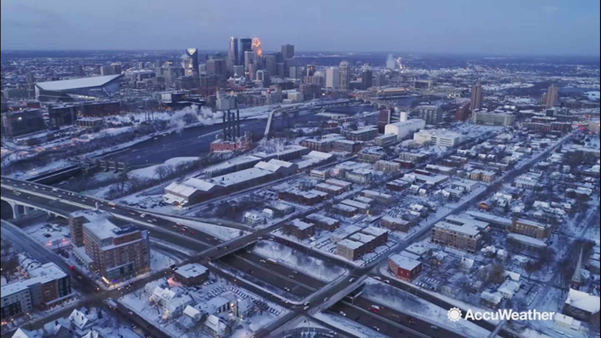
A large winter storm is lining up to bring widespread snow and ice across the northeastern United States this weekend, including areas that have not experienced much wintry precipitation thus far this season.
Enough cold air will drill in on gusty winds behind a system expected to race through late Wednesday night and Thursday to pave the way for snow and ice for a large part of the region as a new storm moves in on Saturday.
The storm scheduled to hit the Northeast this weekend arrived along the Pacific coast on Wednesday -- and forecasters say it is expected to truck across the country.

A general 6-12 inches of snow is forecast from parts of northern Pennsylvania and western and central New York state to northern New England from Saturday to early Sunday. A swath of 3 to 6 inches of accumulation is anticipated from parts of the mountains of Pennsylvania to coastal Maine.

Warm air from the south and the ocean will play a role in limiting or preventing snow and ice in parts of Virginia, Maryland, Delaware, New Jersey, Pennsylvania, West Virginia, New York and New England during the storm.
No snow or ice is forecast across southeastern Virginia, southwestern West Virginia and southern Maryland from the storm, but rain will dampen these areas instead.

"Warm air and a delayed start to the storm will likely be a significant player and limit the duration of the snow and wintry mix period from northern and western Virginia to southeastern New England," AccuWeather Senior Meteorologist Dave Dombek said. "In these marginal temperature areas, the snow has only a few hours or less to do the job."

In order for these locations to pick up a moderate amount of snow, the storm would have to start before dawn or shortly thereafter before mild air overtakes the region -- and AccuWeather meteorologists are not expecting that to occur at this time.
A snow drought for parts of the Northeast so far this season may have left some motorists feeling out of practice when it comes to winter driving.
Major metropolitan areas from Washington, D.C., to New York City have been spared by winter storms for the most part this season. Washington, D.C., has recorded only 0.4 of an inch of snow so far this winter, a mere 8% of the normal snowfall for the season to date. Even less snow has fallen in Philadelphia, where the total of 0.1 of an inch is only 2% of the normal snowfall to date. Similarly, only 2.7 inches of snow have accumulated in New York City, just 33% of the normal snowfall for the season through Jan. 15.
In contrast, other areas of the Northeast have experienced significant snowfalls as storms have cut up across the interior of the region this winter. Boston was blanketed under several inches of snow from an early December storm, and the seasonal snowfall to date is 11.6 inches, which is 71% of normal. That same early-December storm dumped close to 2 feet of snow on the Albany, New York, area, which is on pace to exceed its typical winter snowfall with 124% of normal having piled up for the season to date.
"Much of the region, aside from the northern tier, simply hasn't had much snow or ice so far this winter," Dombek said. "Still, enough snow and ice is likely to fall with this storm to create slippery travel from Washington, D.C., and Baltimore to New York City with a general coating to an inch or two forecast for these areas along Interstate 95."
"This looks like a very typical winter storm setup with the usual coast to inland to mountain variation in rain versus ice versus snow," Dombek said.
Slippery travel conditions are predicted for a time, even in the major I-95 mid-Atlantic cities, where rain may eventually wash away snow and slush.
Forecasters say motorists should expect travel to deteriorate from west to east on Saturday across much of the mid-Atlantic and later Saturday afternoon and Saturday evening over much of New England.

North and west of the I-95 corridor over the upper mid-Atlantic and in a large part of New England, the mild air will be delayed or may not flow in enough to bring plain rain. A secondary storm will form, and if it does so quickly enough, it may halt the flow of mild air, potentially resulting in heavier snow in Boston, Hartford, Connecticut, and perhaps the northern suburbs of New York City.
Regardless, the fast movement of the storm should prevent a blockbuster snowfall from unfolding even though rates of 1-2 inches per hour can occur for at time from the central Appalachians to interior New England.
Where rain takes over during the height of the storm along the I-95 mid-Atlantic corridor and along the immediate southeastern New England coasts, travel conditions may improve with wet roads later Saturday and Saturday night.

The weekend storm will mark the beginning of a change in the weather pattern that will favor longer-lasting cold air for the rest of January and perhaps the first part of February for the Northeast.
With the Great Lakes largely free of ice, the action of cold air passing over the open waters will lead to significant lake-effect snow and the potential for snow squalls to reach a hundred miles or more to the southeast of the lakes.
The upcoming pattern could bring more opportunities for general snowstorms in the region, including the I-95 corridor.

