Some trees have yet to shed their leaves, but the first blizzard of the season is already whipping the central U.S. with disruptive snow and temperatures more common in the heart of winter.
After unloading snow over parts of the Cascades and northern Rockies, the storm pushed eastward, spreading snow from Colorado through the Dakotas and into the Canadian Prairies on Thursday.
AccuWeather meteorologists say the worst of the storm is forecast to focus on a swath of the Dakotas into Friday where an "all-out-blizzard" will unfold, including sections of I-90 and I-94. However, the snow has already caused widespread travel issues across the region.
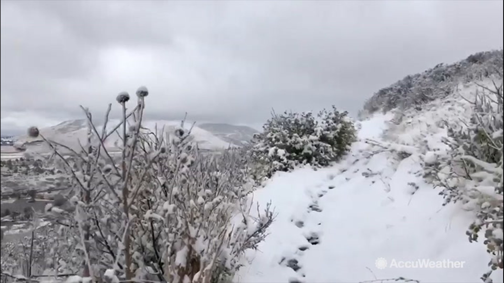
This week's storm is responsible for the first snow of the season for many cities across the central U.S., including Denver. There were even a few reports of thundersnow in some of the heavier bursts of snow on Wednesday night and Thursday.
Accumulations have generally ranged from 2 to 4 inches across Denver with higher amounts falling over the mountains. While this is a far cry from a significant storm in Denver, it has still caused many issues for drivers in and around the city.
The Denver Police Department reported around 100 crashes amid the wintry weather outbreak. Some roads were also closed, including a stretch of Interstate 25 northbound between Colorado Springs and Denver.
The wintry weather has also caused headaches for folks taking to the sky with poor weather forcing a ground stop at Denver International Airport. More than 100 flights were canceled and another 800 delayed at the airport on Thursday.
Heavier snow fell to the north of the mile-high city with 5 to 10 inches piling up from western Nebraska through western South Dakota. Dozens of schools across this area canceled classes on Thursday due to the snowstorm, according to The Associated Press.
Despite the early season snow and blustery winds, power outages were minimal with only around 2,000 outages as of Thursday afternoon, according to PowerOutage.us.
Before the first flakes fell, a vigorous cold front blasted across the central U.S., slashing temperatures significantly. The cold front seemed to usher in a new season, with temperatures on Wednesday resembling those of late-summer, while on Thursday, they seemed to reflect a mid-winter afternoon.
Temperatures across the central Plains topped out int he 70s and 80s F in many areas, with a few spots even hitting the 90-degree mark. By Thursday afternoon, temperatures had plummeted into the 20s and 30s with AccuWeather RealFeel Temperatures® in the teens and single digits.
Denver, in particular, saw the mercury dive by 58 degrees in just 17 hours, starting off at 72 F at 5:06 p.m. MDT Wednesday ahead of the cold front, and bottoming out at 14 F by 10:06 a.m. MDT Thursday.
The brunt of the cold focused on areas farther north with Great Falls, Montana, recording its earliest zero-degree temperature reading on record.

Into Friday, the worst of the storm will focus on the Dakotas with blizzard conditions forecast to lash the region. A blizzard means that there are sustained winds of at least 35 mph and blowing snow reducing visibility to less than one-quarter mile for at least three hours.
"A general 6-12 inches is forecast over much of the Dakotas," AccuWeather Senior Meteorologist Alex Sosnowski said. "However, a large swath of 12-24 inches is likely with an AccuWeather Local StormMax™ of 36 inches most likely to occur from central to northeastern North Dakota."
"Cities that could end up with 2 feet of snow include Bismarck, Jamestown and Devils Lake, North Dakota, as well as Mobridge, South Dakota, and Winnipeg, Manitoba," Sosnowski added.
Related video: AccuWeather's winter forecast