
PHOENIX — Once a week, the National Weather Service releases its Drought Monitor for the state of Arizona. The last week showed drought receding from most of the state.
It's not except when it is.
The Drought Monitor is complicated and is actually three different maps. Typically, 12News only shows you the weekly Drought Monitor, but there is also a monthly and a long-term drought map, which shows something very different.

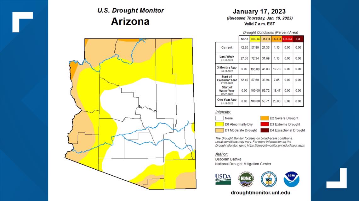
The weekly drought map is just that: a map of drought conditions week over week.
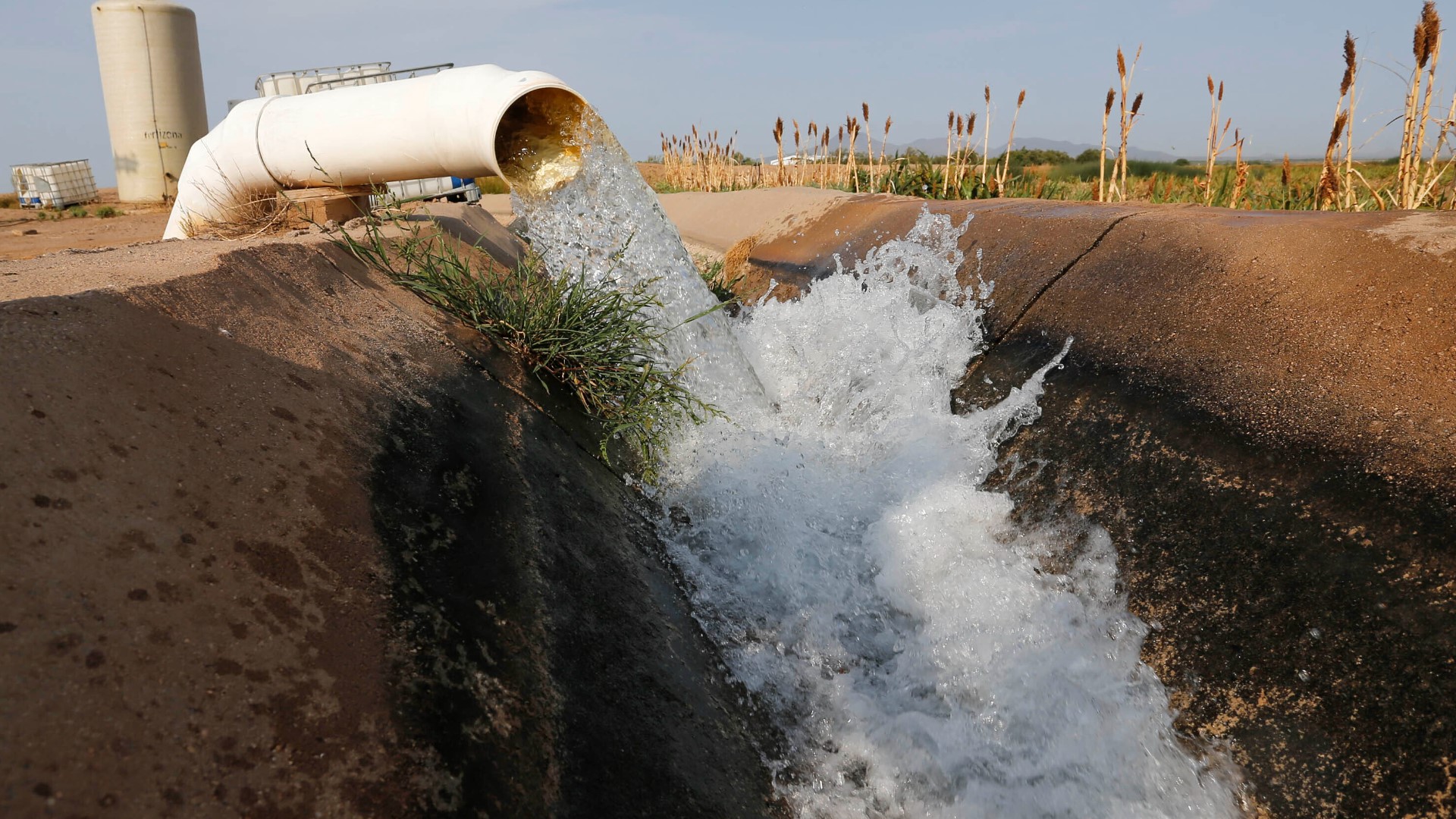
Practically, it measures the impact of rainstorms within the last few days. It's useful for farmers to time their watering and irrigation or for wildfire managers to determine how likely certain areas are to burn.
But overall, the experts say it doesn't address the long-term megadrought currently ravaging the West.
"Looking at just one-time segment can confuse people and give an illusion that we may be out of drought now," Mark O'Malley, a meteorologist with the National Weather Service in Phoenix, said.
To see the extent of the mega-drought, you need a lesser-seen map: the long-term drought monitor.

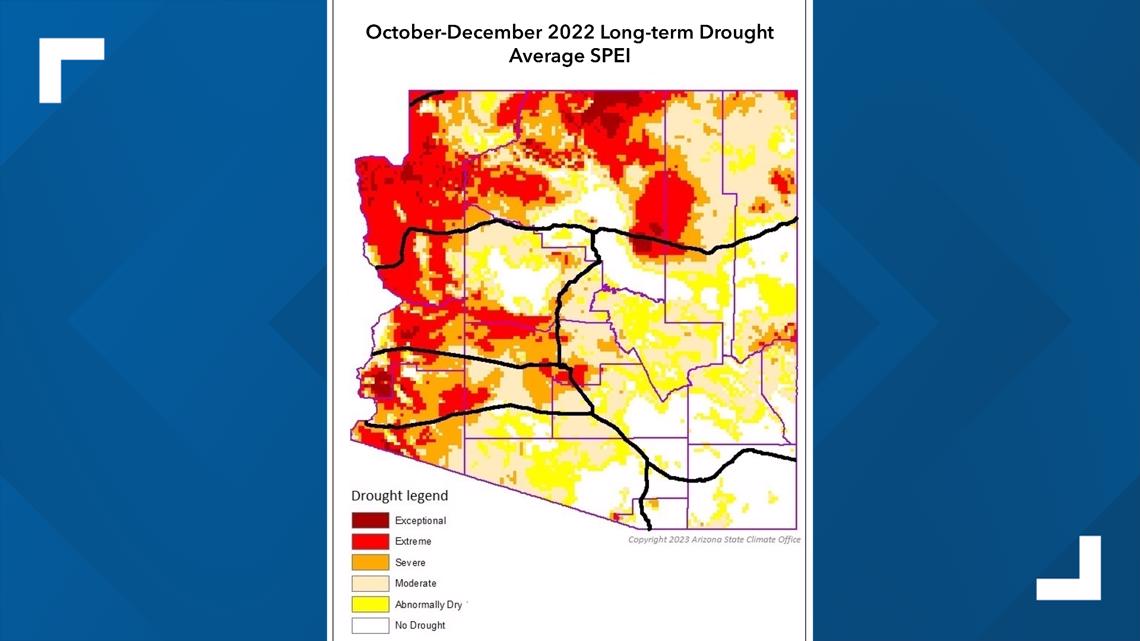
And that map is very different. On this map, large parts of the state are red or dark red, meaning severe or exceptional drought. And those areas ring the state, following the Colorado River, where most of the West's water comes from.
And that map doesn't change with one or two large rainstorms. It changes based on years or decades of wetter weather.
"One month or even one year is not going to make up that deficit," O'Malley said.
Up to Speed
Catch up on the latest news and stories on the 12News YouTube channel. Subscribe today.