
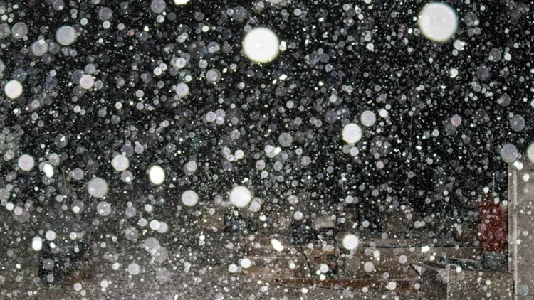
All week the huge storm that was set to park itself over Arizona for two straight days was being referred to as a winter storm seen "once in a decade."
As Thursday came to an end, it was pretty clear that may just be the case.
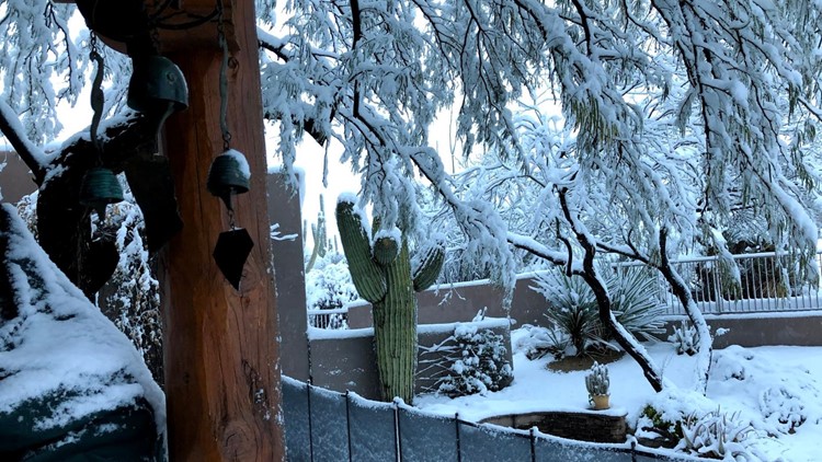
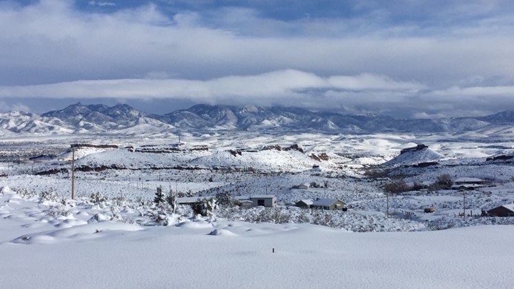
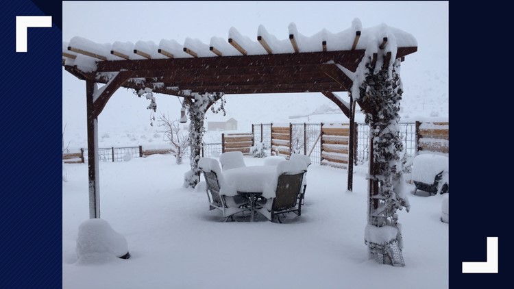
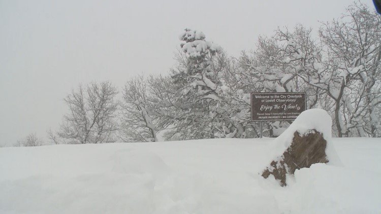
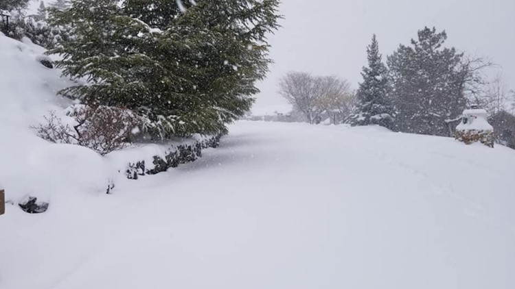
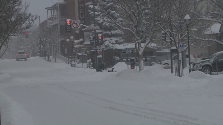
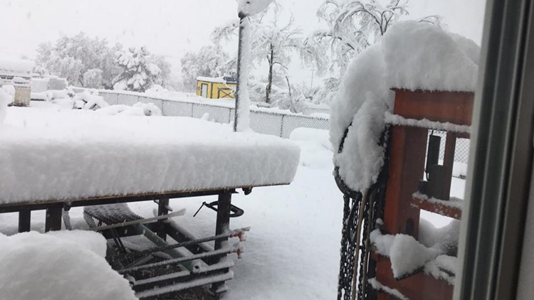
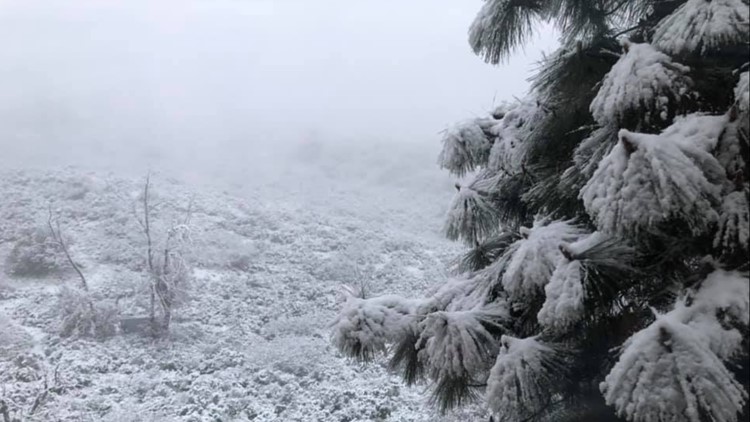
Flagstaff broke its all-time daily snowfall record of 31 inches set back in 1915. Officially, Flagstaff recorded 40.3 inches of snow from the storm, the National Weather Service in Flagstaff says.
FORECAST: Winter storm moves out tonight
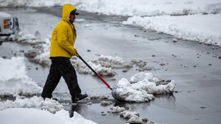
Coconino County and the City of Flagstaff both issued a State of Emergency Thursday due to the severe winter weather.
Snow showers are spotty across the High Country Friday as the storm exits to the east. Ice and small amounts of additional snow continue to make travel on the roads dangerous.
A winter storm warning ended in the Flagstaff area at 5 p.m. Friday. For the White Mountains, the winter storm warning ends at 8 p.m.
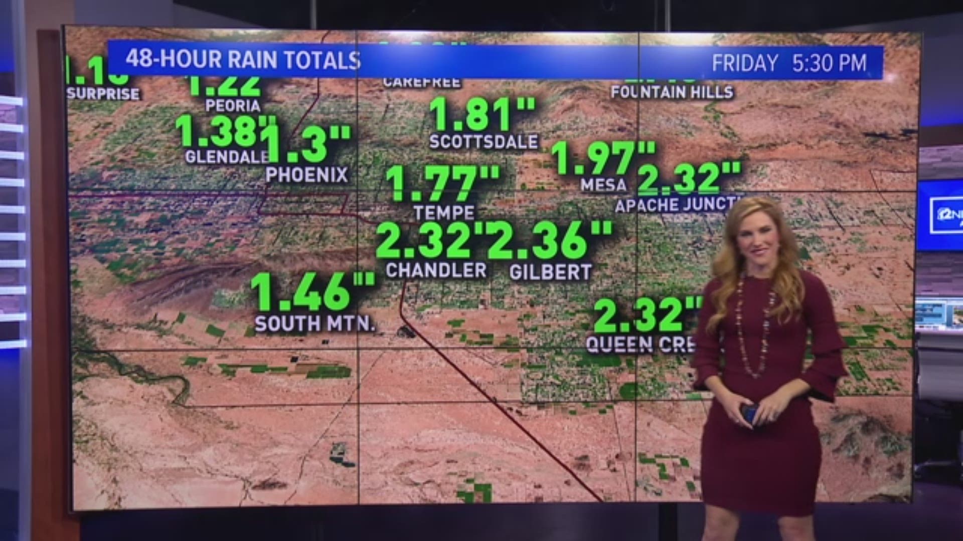
Rain in Phoenix also broke a record. Just over an inch of rain fell in Phoenix Thursday, breaking the previous record for the day of .73 inches. Most of the Valley saw between 1 and 3 inches of rain.
The rain showers in the Valley diminished around 7 p.m.
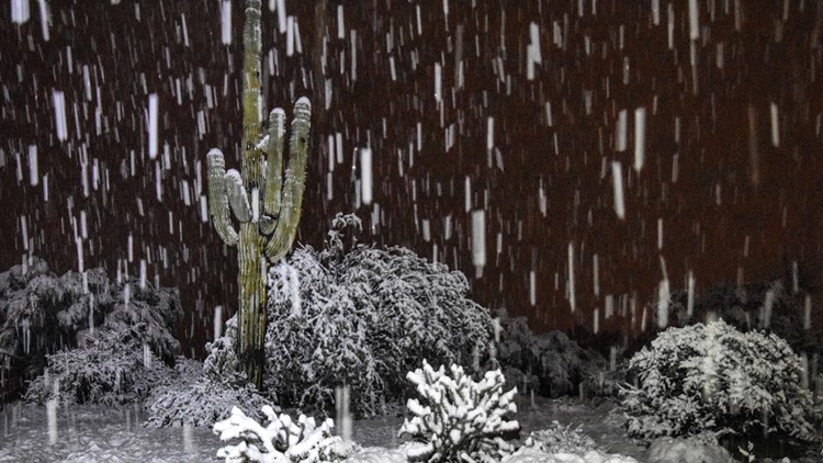
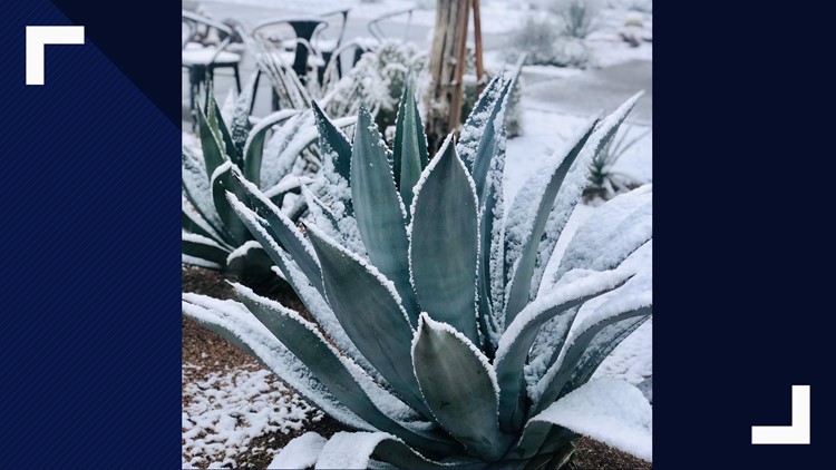
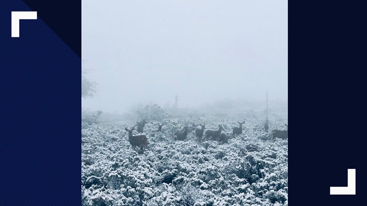
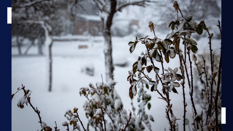
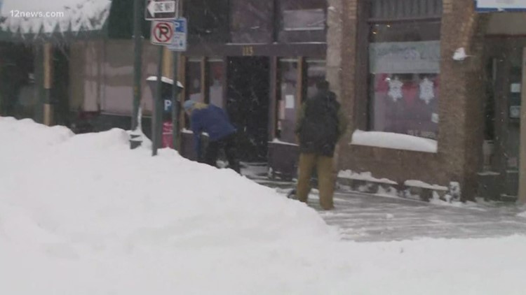
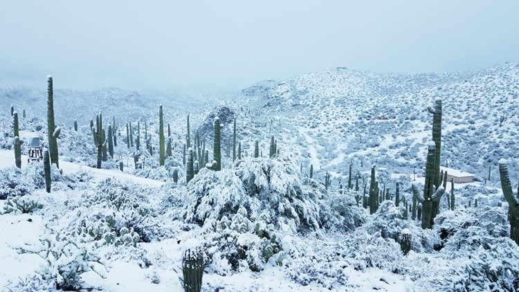
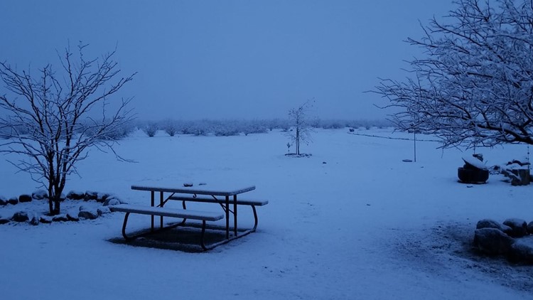
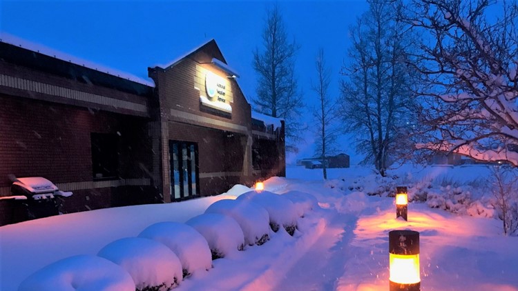
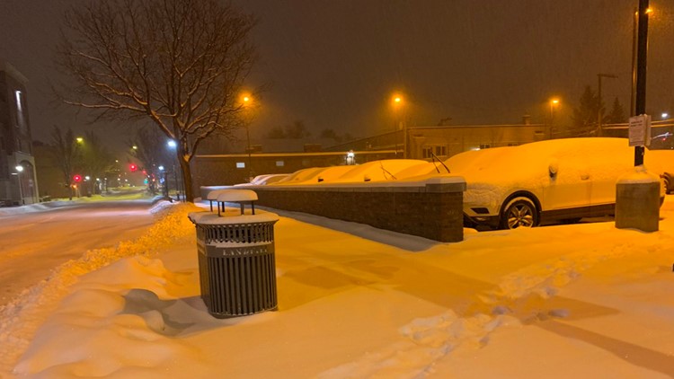
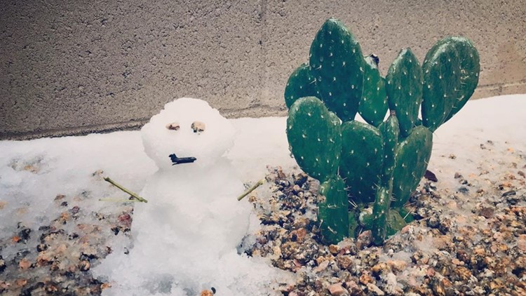
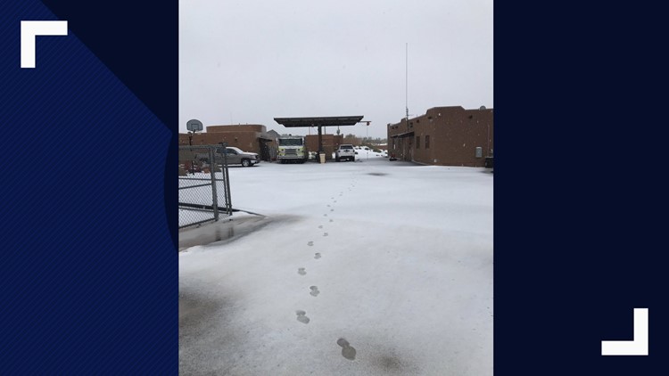
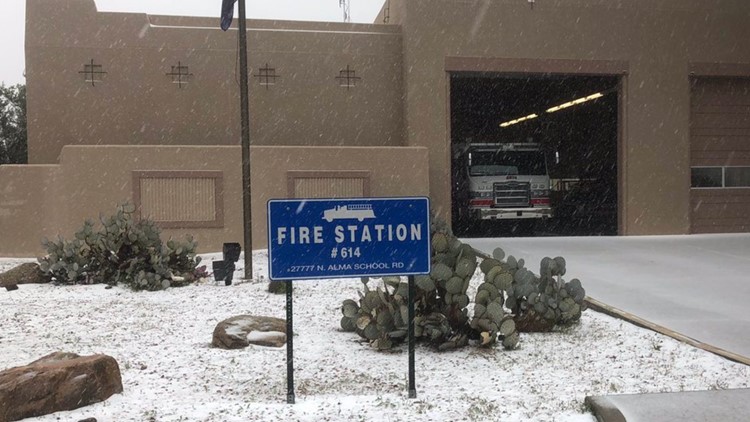
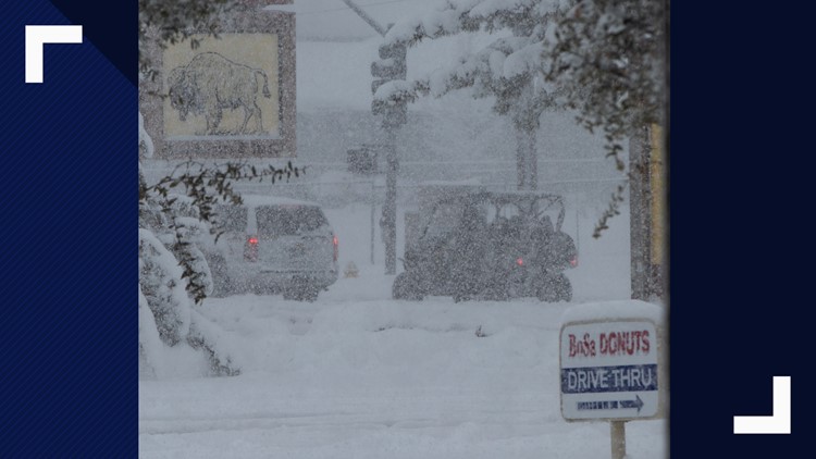
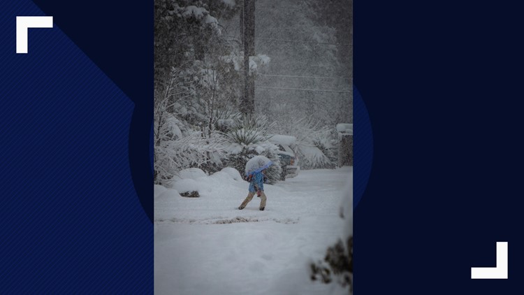
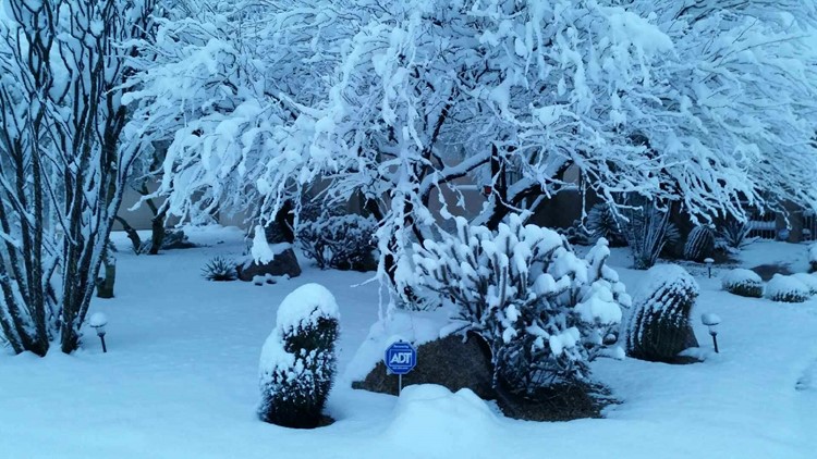
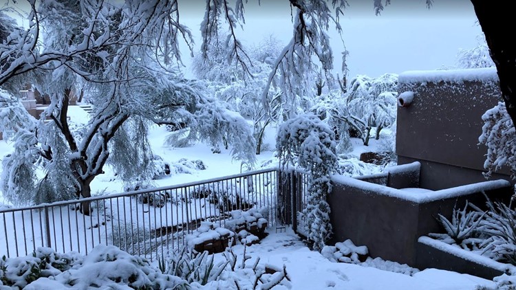
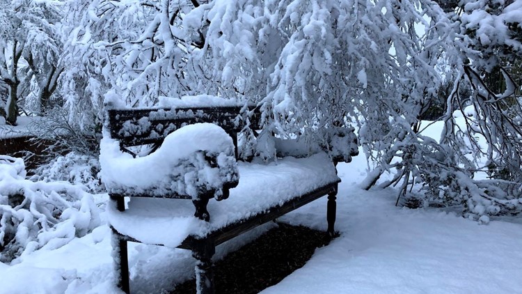
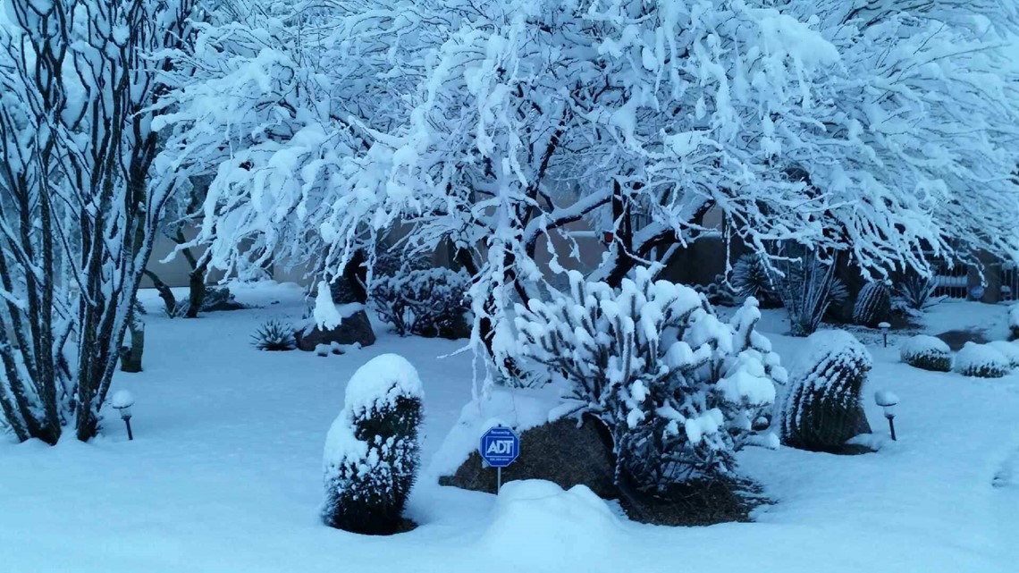
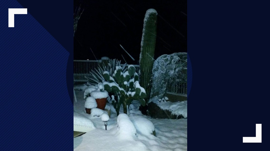
PHOTOS: Historic winter storm brings snow, rain to Arizona


7:00 p.m.
As the storm clears overnight, NWS Flagstaff says to expect extremely cold temperatures, especially in the areas that saw significant snowfall over the past few days. Lows may drop below zero in the Flagstaff area.
In the Valley, lows overnight will be near freezing. You will want to cover any tender plants outside.
A warming trend will begin next week after a cold weekend.
5:33 p.m.
NWS Flagstaff says only another 0.2 inches of snow fell at Flagstaff Airport from 11 a.m. to 5 p.m. The snowfall total for this storm from Wednesday night through Friday afternoon is 40.3 inches.
5:13 p.m.
The Red Cross closed its Kingman shelter as conditions improve. The shelters in the Strawberry/Pine and Payson areas remain open.
5:08 p.m.
The City of Prescott remains under a snow emergency as ice and possible additional snowfall continue to make driving conditions hazardous. However, Prescott Public Library will reopen Saturday at 9 a.m., and city parks and recreation services will resume normal operations Saturday as well.
5:03 p.m.
The winter storm warning has expired for the Flagstaff area, though snow showers will be possible through the evening hours, according to NWS Flagstaff.
A winter storm warning remains in effect for the White Mountains until 8 p.m.
4:50 p.m.
At 47 degrees, Phoenix broke its record cool high temperature for Feb. 22. The last time it was almost as cold on this day was back in 1897, when the high was 54 degrees.
4:03 p.m.
Showers could drop up to dime-size hail across the Phoenix area through mid-evening, NWS Phoenix says. Rain will start to diminish around 7 p.m.
3:24 p.m.
A rescue helicopter safely lifted both people out of the flooded wash. The woman and the man were taken away on stretchers.
The Pinal County Sheriff's Office said the 23-year-old man and 31-year-old woman were trying to cross the wash on foot when the woman fell into the water. The man jumped in to get her, but the currents were too strong and they couldn't get out.
2:44 p.m.
Crews worked to rescue two people holding onto branches in a flooded wash just south of Queen Creek near Kenworthy and Combs roads. A spokesperson for Rural Metro Fire said it's unknown how they got there.
2:31 p.m.
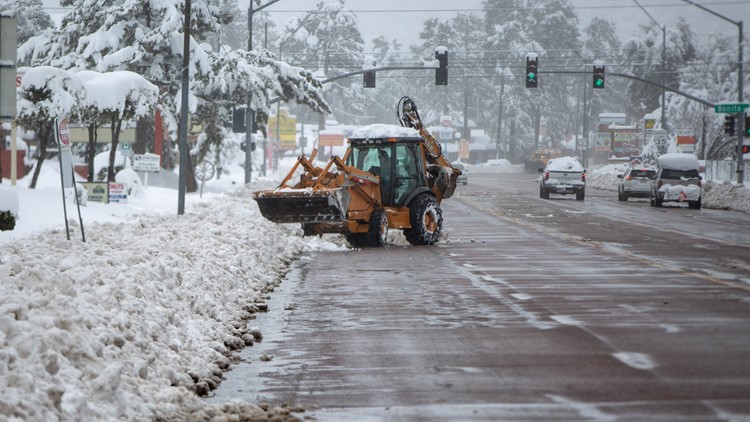
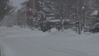
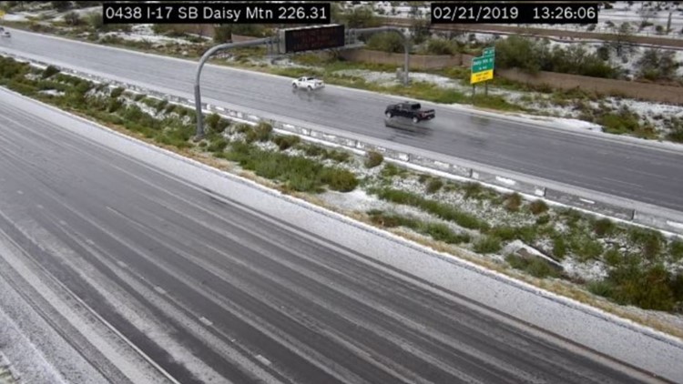
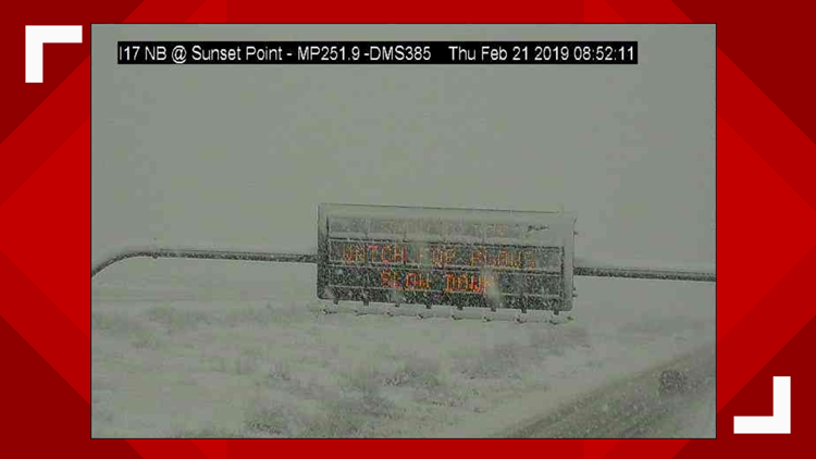
NWS Flagstaff says heavy snow showers are moving across the I-17 and I-40 corridor, making the roads slick. Visibility could drop to only a few hundred feet in the heavier showers.
1:41 p.m.
NWS Phoenix says showers this afternoon will dump small hail in areas around the Valley. The hail should continue for the next few hours.
A time-lapse video from the NWS Flagstaff office shows the record-breaking snowfall pile up over bushes.
1:26 p.m.
If you're thinking about traveling to Tucson today, ADOT says to wait until the storm passes.
NWS Tucson says the storm is moving east with more snow and rain showers expected to continue this afternoon.
12:59 p.m.
Graupel-producing showers are moving east across the Valley.
A creek is flowing over SR 88 at Tortilla Flat. The road is closed and there's no estimated time to reopen, ADOT says.
12:32 p.m.
ADOT says northbound I-17 has reopened between SR 179 (Sedona turnoff) and Flagstaff.
12:21 p.m.
The City of Scottsdale says several roads and trails are closed due to storm runoff and snow.
PHOTOS: Arizona's massive winter storm drops snow on Scottsdale


According to the city, the current closures include the roads and low-lying areas which cross the Indian Bend Wash: Osborn Road, Murray Lane at 77th Street, Medlock Drive at Hayden Road, Starlight Way at Hayden, Jackrabbit Road at Hayden, Pecos Lane at Hayden, Safeway Plaza entrance at Hayden, Chaparral Park Off Leash Area, Chaparral Road Underpass, Camelback Park Multiuse Path, Horizon Park Dog Retention Area and Eldorado Park.
The city says these trail closures will last through the weekend:
- Tom’s Thumb Trailhead
- Brown’s Ranch Trailhead
- Granite Mountain Trailhead
- Fraesfield Trailhead
- Pima/Dynamite Trailhead
- All neighborhood access points and trails north of Deer Valley road alignment.
12:04 p.m.
Payson has declared a state of emergency due to the severe weather conditions.
The storm total for Flagstaff Airport since Wednesday is up to 40.1 inches, NWS Flagstaff says.
11:55 a.m.
ADOT released updated highway closures in Arizona due to the weather conditions:
- I-17 northbound is closed from State Route 179 (Sedona turnoff) to Flagstaff.
- SR 89A is closed in both directions between Sedona and Flagstaff.
- SR 87 is closed in both directions from Payson to Winslow. SR 87 is closed in both directions between Bush Highway and Payson.
- SR 260 is closed in both directions between Star Valley and Heber. SR 260 is closed in both directions from just east of I-17 to SR 87.
- US 60 is closed in both directions between SR 73 and just northeast of Globe.
- SR 77 is closed in both directions between Globe and Winkelman.
- US 191 is closed in both directions between Alpine and Morenci.
11:11 a.m.
NWS Tucson says Tucson's 1.5 inches of snow is the most in Tucson since Feb. 20, 2013.
According to the NWS Phoenix, Sky Harbor recorded 17 straight hours of measurable rainfall with this winter storm from Thursday to Friday. It's the fifth longest stretch with rain for Phoenix. That most (38 hours) happened in March of 2000.
10:23 a.m.
Snowfall totals for areas near the Valley:
Cave Creek/Carefree: Up to 1 foot
Globe: Up to 10 inches
New River: 0.25 inches
9:23 a.m.
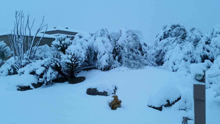
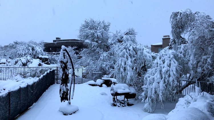
Reports of at least 6 inches of snow in north Scottsdale.

NWS Phoenix says showers and storms are possible later today.
NWS Flagstaff says east of the line from Kayenta to Payson is where the main plume of snow is now.
8:58 a.m.
NWS Tucson says 0.4 inches of snow has fallen at its office on the University of Arizona campus.
8:30 a.m.
A significant weather advisory is in effect for Tucson and the surrounding areas until 9:30 a.m.
8:04 a.m.
NWS Tucson says 1-2 inches of snow are possible in the Tucson area as snow levels drop to 2,000 feet.
7:11 a.m.
The APS outage map shows 2,598 people are without power in Cottonwood.
6:44 a.m.
ADOT released an updated listed of highway closures in Arizona:
- I-17 northbound is closed from State Route 179 (Sedona turnoff) to Flagstaff.
- SR 89A is closed in both directions between Sedona and Flagstaff.
- SR 87 is closed in both directions from Payson to Winslow. SR 87 is closed in both directions between Bush Highway and Payson.
- SR 260 is closed in both directions between Star Valley and Heber. SR 260 is closed in both directions from just east of I-17 to SR 87.
- US 60 is closed in both directions between SR 73 and just northeast of Globe.
- SR 77 is closed in both directions between Globe and Winkelman.
- US 191 is closed in both directions between Alpine and Morenci.
6:20 a.m.
Reports of snow in north Scottsdale and the National Weather Service says there's even been reports of snow in Anthem.


Areas across the Phoenix area could see up to 2 inches of rain by the time this winter storm moves out of the state.
Mesa was already at 1.89 inches of rain, Chandler at 1.46 inches of rain and Scottsdale at 1.30 inches of rain.
5:59 a.m.
APS says 3,980 customers are without power in Pine, 1,361 are without power in Tonto Basin and 135 customers are without power in Payson.
5:35 a.m.
NWS Flagstaff says snow in northern Arizona will continue to be heavy at times through midday.
It will start to weaken overnight. An addition 3 - 5 inches is expected in Flagstaff and Payson while Prescott could see another 2 - 4 inches.
A flood advisory is in effect for Pinal County until 9 a.m.
5:11 a.m.
Valley drivers woke up to wet roads and a constant rain from north Phoenix down to downtown.
An aerial flood warning is in effect until 6 a.m. for most of the Phoenix area.
NWS Flagstaff says the dangerous driving conditions will continue across most of northern Arizona.