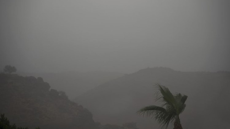
PHOENIX — Monsoon 2022 brought heavy rains, blowing dust and high winds to the Valley and throughout Arizona on Thursday.
Thunderstorm and dust warnings were issued for parts of Maricopa County Thursday afternoon, and high winds were reported in Scottsdale and Tempe.
A round of storms also impacted northern Arizona, including Flagstaff and Sedona. The National Weather Service issued a flooding advisory for areas near the border of Yavapai and Coconino counties.
Live updates
10:00 p.m. - Storms rocked the Valley Thursday bringing rain, dust and strong winds.
8:45 p.m.
7:04 p.m. - NWS Flagstaff's flood advisory for portions of west central Arizona.
7:01 p.m. - Flood advisory previously in effect throughout southeast Arizona has expired.
6:17 p.m.: Phoenix had a 24-degree drop when storms rolled in. NWS says the official temperature at Sky Harbor hit 108 degrees Thursday afternoon, then dropped to 84 degrees.
5:49 p.m. - The rain is now in the Sedona area. A severe thunderstorm warning is in effect until 6:15 p.m.
5:15 p.m. - Radar update from NWS Phoenix.
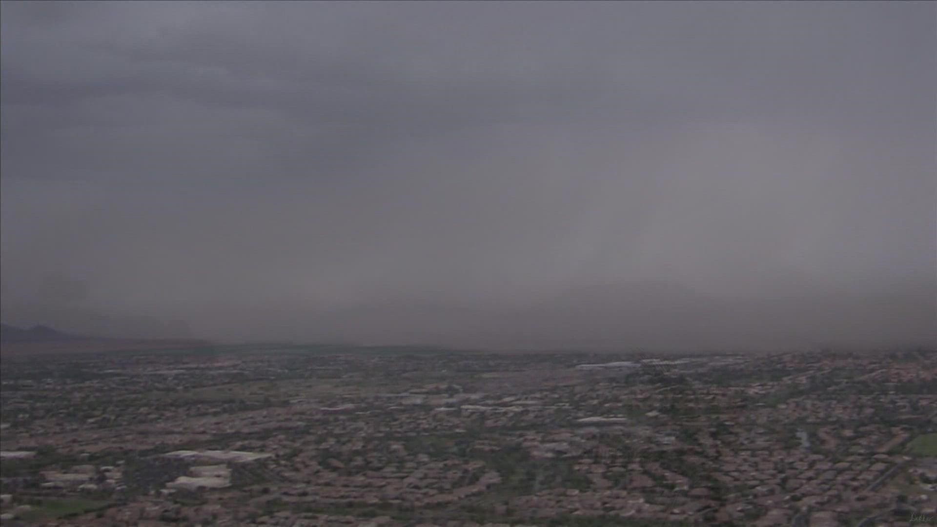
5:14 p.m. - Dust provides limited visibility to drivers on the roadway.
4:58 p.m. - Look from Loop 202 near South Mountain.
4:55 p.m. - Latest radar shows rains continuing across the Phoenix metro area.
4:52 p.m. - Severe thunderstorm warning continues for Phoenix, Tolleson and Guadalupe.
4:39 p.m. - Blowing dust in Buckeye.
4:35 p.m. - ADOT reminding drivers to be cautious when driving in the rain.
4:26 p.m. - Thunderstorm warning in effect for areas including Glendale, Scottsdale and Paradise Valley.
4:18 p.m. - A look of rain falling in the Valley Thursday afternoon.
3:55 p.m. - Flooding is expected in portions of southeast Arizona.
3:26 p.m. - Sky 12 is tracking the storms moving into the Valley on Thursday afternoon.
3:11 p.m. - Severe thunderstorm warning has been issued for parts of Maricopa County until 3:45 p.m.
2:55 p.m. - Storms are expected to bring dust with a warning issued for Casa Grande. Florence, Coolidge, Maricopa, Queen Creek, AZ City and San Tan Valley.
2:51 p.m. - Storm moving NE at 20 mph expected to bring winds up to 60 mph.
2:50 p.m. - The National Weather Service has issued a flood advisory in effect for the Rafael Burn Scar Near the Border of Yavapai and Coconino County until 5 p.m.
2:30 p.m. - A severe thunderstorm warning has been used for Maricopa and Pinal counties.
Arizona Weather
Arizona has seen its fair share of severe weather. Here is a compilation of videos from various storms across the Grand Canyon state.